DAÐASTAÐIR (Dadi´s Place), Núpasveit (Crag district)
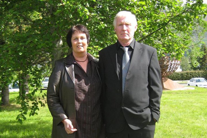
Current occupants: Guðrún S Kristjánsdóttir and Gunnar Einarsson
The farmers at DAÐASTAÐIR participate in the following national initiatives and projects:
-
Quality managed sheep farming (Gæðastýrð sauðfjárræktun)
-
Farmers cultivate the land (Bændur græða landið)
-
Reclamation under the auspices of the Land-remidy fund (Uppgræðsla á vegum Landabótasjóðs)
-
A reforestation project (Skógræktarverkefni)
 Guðrún and Gunnar have pursued farming at DAÐASTAÐIR (Dadi´s Place) since 1982. They also utilize the hayfields and grazing grounds of the deserted farms ARNARHÓLL (Eagle Hillock) and ARNARSTAÐIR (Eagle Place).
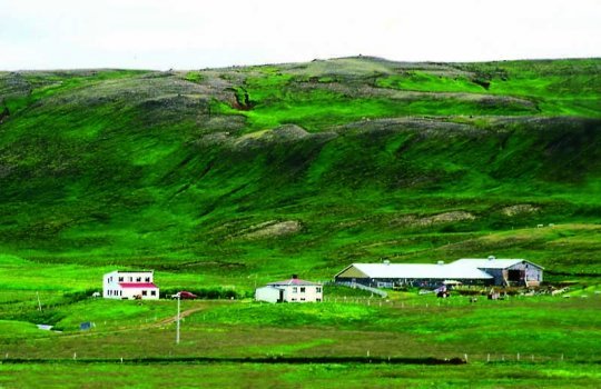
A relatively large tracts of land and carrying good grazing grounds belongs to DAÐASTAÐIR, the southernmost farm in the district of NÚPASVEIT (Crag District). The residence house and other buildings are situated in a dell or the small valley east of the mountain ridge of ÖXARNÚPUR (Axe Fjord Crag), at the foot of the ridge´s hillside. An extensive area with well grown marshes is found west of the farm buildings and stretching towards the seaside rocks of the mountain ridge of ÖXARNÚPUR (Axe Fjord Crag). The river NAUSTÁ (Boathouse River) runs  between the hayfields of the farms DAÐASTAÐIR (Dadi´s Place) and ARNASTAÐIR (Eagle Place), originating from the valley of ARNARSTAÐADALUR (Eagle Place Valley). A hydroelectric power plant was built in the river a short distance from the farm buildings.
The land belonging to DAÐASTAÐIR mostly consists of dry heathers and hillock areas highly appropriate for cultivation and sheep grazing. The shrubbery hillsides of the mountain ridge of ÖXARNÚPUR (Axe Fjord Crag) provide quite good grazing fields and rock ptarmigan are common in the area which is a popular hunting area for ptarmigans.
The seashore belonging to the farm stretches from the boundaries to the neighbouring farm, located in the marshes north to river NAUSTÁ (Boathouse River), often provides considerable driftwood and some trout fishing as well. An old port, BUÐLUNGAHÖFN (Driftwood Port) is located in the northermost area of the shore, at the end of the sandy beach. Fishermen in the area sailed out from this port in earlier days and for an extended period of time. The secondary road leading from district highway road 85 is around 2 km long and lies on the top of gravel beds that rise high in the environment. Due to the closeness of the farm buildings to the hills of the mountain ridge of ÖXARNÚPUR (Axe Fjord Crag), the sun is not visible at the farm from November util early February.
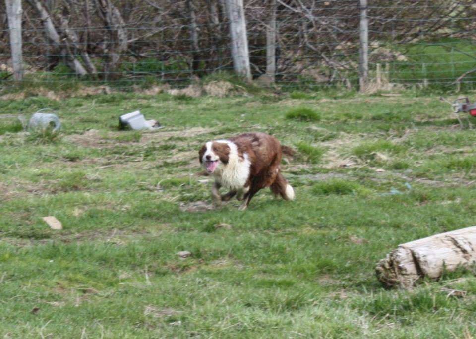
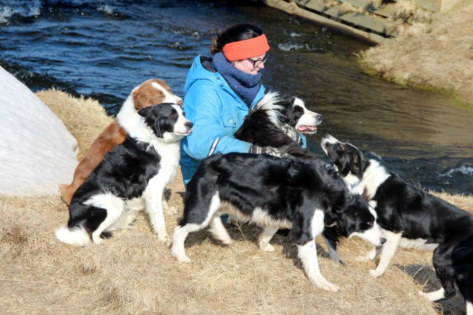
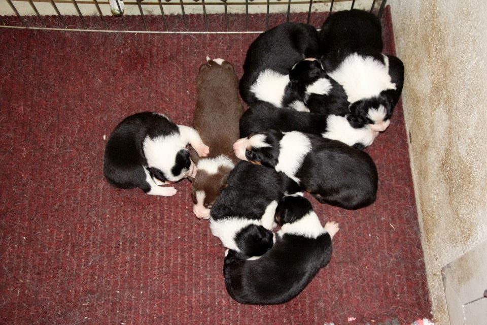
Photo album.
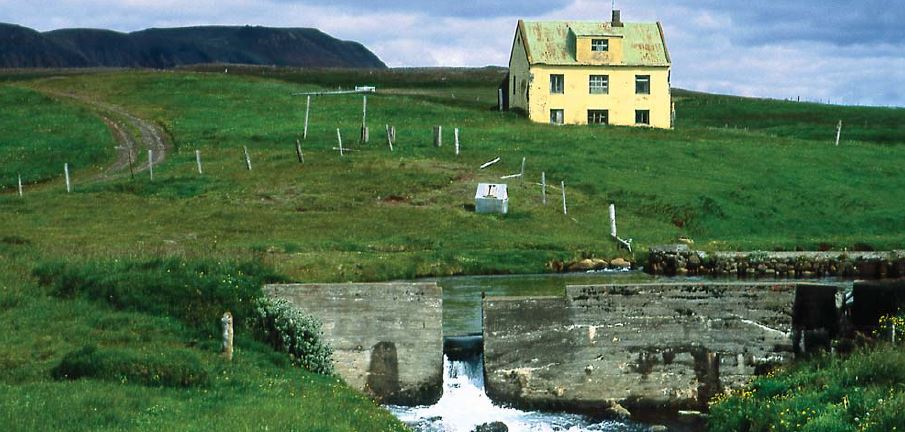
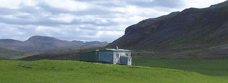
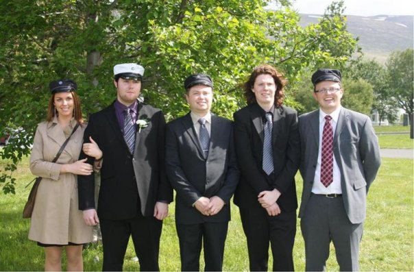
Here are photos of the farm and from the family who lives there.


